I'm working on a geocoding project using the plugin in MMQGIS QGis, and I want to use OpenStreetMap data in this project.
I have already downloaded the data of my country and I converted to .CSV files, the problem is that the file contain roads and street names (no province, city or country) so how to configure this data to use them?
knowing that the fields of the province, city or country are obligatory to geocode my data.
2 Answers 2
In my opinion it makes little sense to try use OSM data with the MMQGIS geocoder since the geocoder was designed for completely different data.
On the other hand, services like Nominatim already do really good geocoding with OSM.
-
2... also have a look at wiki.openstreetmap.org/wiki/Search_engines for more services / features for OSM-based geocoding.stephan75– stephan752015年03月16日 20:03:12 +00:00Commented Mar 16, 2015 at 20:03
-
@underdark i used the Nominatim services(GeoCode) as you said. can you please give me some more details about how to proced..should i geocode all my adress manually (kind of impossibe task) or what should i do exactly. thank you for your help. I want also to know if Nominatim allow me to creat my own geocoder to use it in another application. Hope you understand me.YSN KHL– YSN KHL2015年04月01日 11:54:53 +00:00Commented Apr 1, 2015 at 11:54
Starting from QGIS 3.20 it is possible to geocode addresses to coordinates by means of the native tool "Batch Nominatim geocoder" that employs the Nominatim Geocoder, can be found under Vector General in the Processing Toolbox (Ctrl+Shift+T).
Step 1. Prepare your input CSV file which includes an address field i.e. is a concatenation of fields e.g. street, house number, postal code, city, state, country. (Some attributes are optional)
Let's assume there is a CSV file called 'test.csv', see image below.
Step 2. Drag&Drop the CSV file into QGIS. Make sure the right encoding was chosen i.e. UTF-8
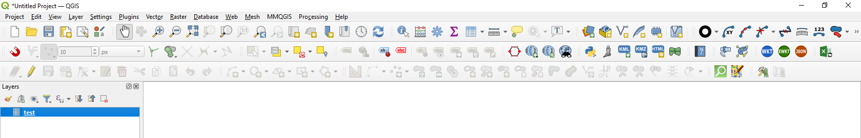
Step 3. Apply the "Batch Nominatim geocoder" and press Run
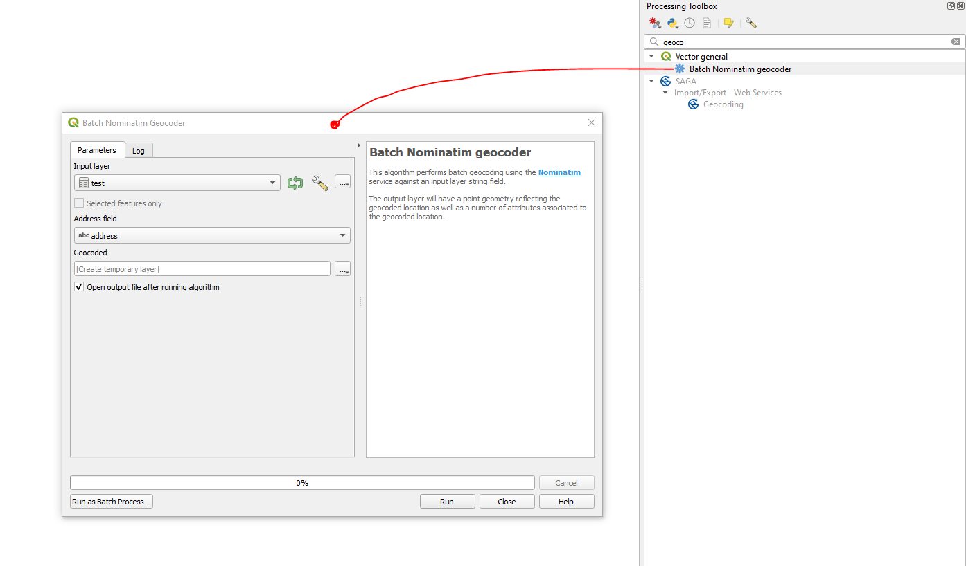
Step 4. Get the final output
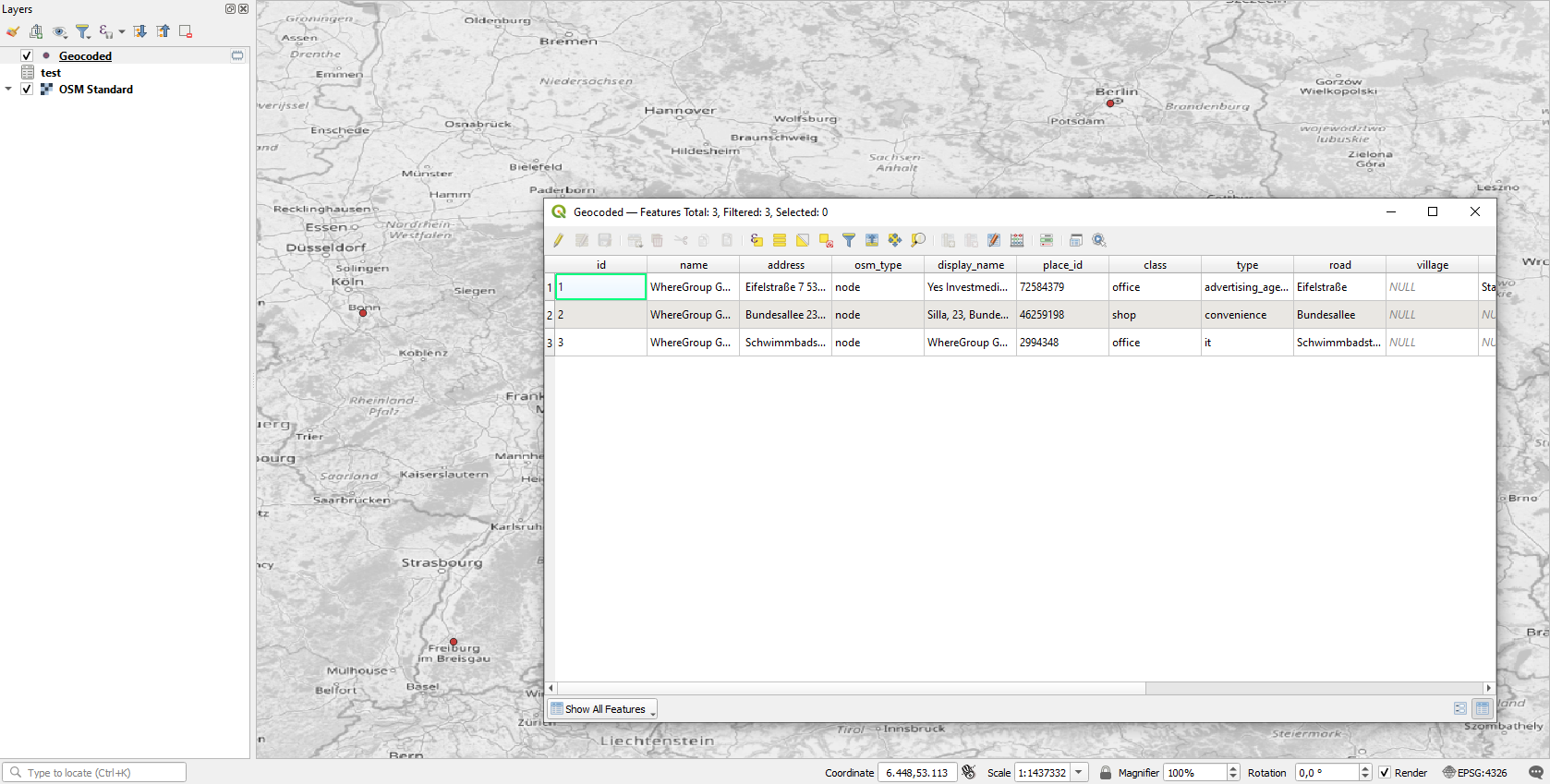