Kaztal District
From Wikipedia, the free encyclopedia
District in West Kazakhstan Region, Kazakhstan
Kaztal
Қазтал | |
|---|---|
District | |
| Қазтал ауданы | |
| Location of Kaztal District in Kazakhstan Location of Kaztal District in Kazakhstan | |
| Country | Kazakhstan |
| Region | West Kazakhstan Region |
| Administrative center | Kaztal |
| Government | |
| • Akim | Zulkashev Rustem Mulkayevich[1] |
| Population (2013)[2] | |
• Total | 31,089 |
| Time zone | UTC+5 (West) |
Kaztal (Kazakh: Қазтал ауданы, Qaztal audany) is a district of West Kazakhstan Region in western Kazakhstan. The administrative center of the district is the selo of Kaztal.[3] Population: 31,089 (2013 estimate);[2] 32,908 (2009 Census results);[4] 38,703 (1999 Census results).[4]
Geography
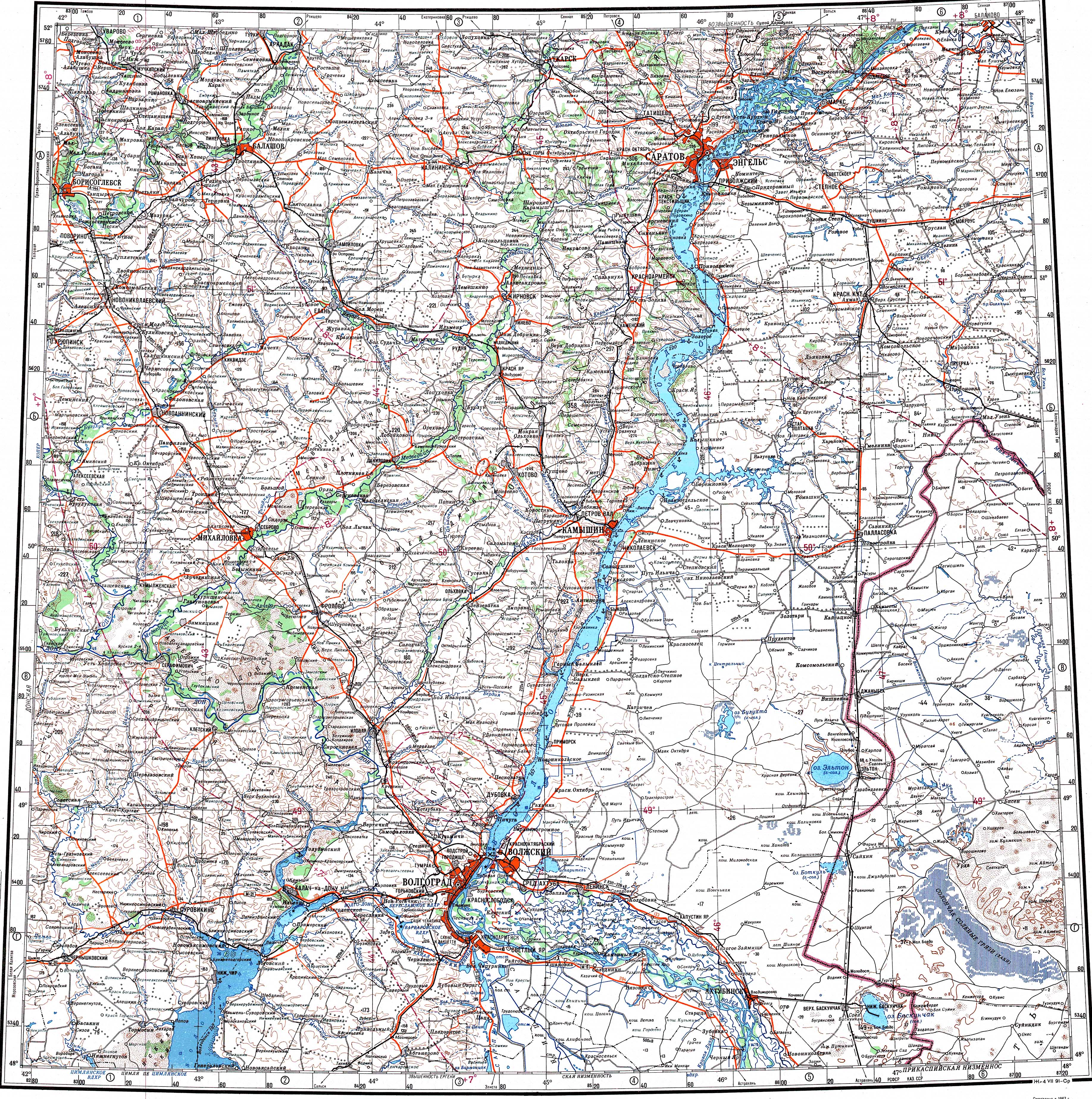
[edit ]The district is located in the northern part of the Caspian Depression. The Ashchyozek river flows across it.[5] [6]
References
[edit ]- ^ "Назначен новый аким Казталовского района". zhaikpress.kz. 2022年03月12日.
- ^ a b "Население Республики Казахстан" (in Russian). Департамент социальной и демографической статистики. Retrieved 27 December 2013.
- ^ "www.geonames.de Subdivisions of Kazakhstan in local languages". Archived from the original on 2016年03月03日. Retrieved 2008年05月07日.
- ^ a b "Население Республики Казахстан" [Population of the Republic of Kazakhstan] (in Russian). Департамент социальной и демографической статистики. Retrieved 8 December 2013.
- ^ "M-38 Topographic Chart (in Russian)" . Retrieved 22 November 2024.
- ^ Google Earth.
49°45′54′′N 48°41′06′′E / 49.7651°N 48.685°E / 49.7651; 48.685
Stub icon
This Kazakhstan location article is a stub. You can help Wikipedia by expanding it.