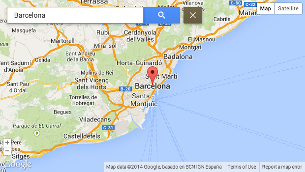
Geolocation Field provides a field type to store geographical locations as pairs of latitude and longitude (lan,lng) as well as the necessary integration to display those locations through views, fields and using a number of different map providers.
Drupal 8/9/+
Drupal Integration
- Geolocation Field, Widgets & Formatters
- Views
- Search API Location integration in Views
- Geofield support for Views & Formatter
- Blocks
- Address support for Widgets & Views
- Integrated Demo modules
- GPX-file Field Widget & Formatter
(optional) Geometry Support
- Native in-DB Spatial Geometry support (requires MySQL 5.7+ / PostgreSQL)
- Geometry, Multi-/Polygon, Multi-/Linestring, Multi-/Point fields
- WKT / GeoJSON Fields & Widgets
- Views support for Within/Contains/Intersects
- Countries of the world geometries submodule
- US States geometries submodule
- German Postal Codes geometries submodule
- UNESCO World Heritage Sites points submodule
Map Providers
- Google Maps
- Google Static Maps
- Leaflet / OSM
- Yandex.Maps
- HERE Maps
- Baidu Maps
Google Maps features
- ClientLocationIndicator
- ContextPopup
- ControlCustomGeocoder
- ControlCustomLocate
- ControlCustomRecenter
- ControlGoogleMapType
- ControlGoogleStreetView
- ControlGoogleZoom
- Drawing
- Directions
- MapDisablePOI
- MapTilt
- MapTypeStyle
- MarkerClusterer
- MarkerIcon
- MarkerInfoBubble
- MarkerInfoWindow
- MarkerZoomByAnchor
- Spiderfying
Leaflet features
- ClientLocationIndicator
- ControlFullscreen
- ControlGeocoder
- ControlLayer
- ControlLocate
- ControlRecenter
- ControlScale
- ControlZoom
- CustomTileLayer
- GestureHandling
- MarkerClusterer
- MarkerIcon
- MarkerPopup
- TileLayer
- WMS
Yandex features
- Balloon
- Clusterer
- ControlGeolocation
- ControlSearch
- ControlTraffic
- ControlType
- ControlZoom
Theming / custom elements
- Render elements for map and locations
- Form element
Plugin support / Customization
- DataProvider to get geodata from different sources
- Geocoder to use different source for locations
- GeocoderCountryFormatting to display geocoded data correctly as needed
- MapCenter to customize different ways on where and how to center a map
- MapFeature to add functionality to maps
- MapProvider
Drupal 7
- Plain text (input & output)
- Google Maps (input & output)
- Geolocation HTML5 (input & output)
- Geolocation Proximity for proximity/distance based view results.
- 7.x-1.x-dev Google Maps Geocoder (backport of Drupal 8 version)
- 7.x-1.x-dev Template based microdata formatter (backport of Drupal 8 version)
Technical background (Drupal 7/Drupal 8)
At the moment Geolocation stores the following values in the database:
- lat (latitude),
- lng (longitude),
- lat_sin (precalculated latitude sine),
- lat_cos (precalculated latitude cosine),
- lng_rad (precalculated radian longitude).
The precalculated values will speed up proximity SQL look ups.
Project information
- Project categories: Content display, Integrations, Site structure
- Ecosystem: Views (for Drupal 7), Search API, Address, Geofield
- chart icon46,816 sites report using this module
- Created by dopry on , updated
- shieldStable releases for this project are covered by the security advisory policy.
Look for the shield icon below.
Releases
Development version: 4.x-dev updated 3 Jul 2026 at 06:45 UTC
Development version: 8.x-3.x-dev updated 21 Jun 2026 at 17:14 UTC